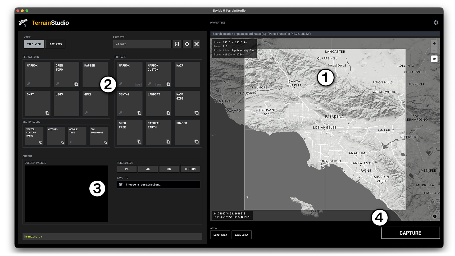
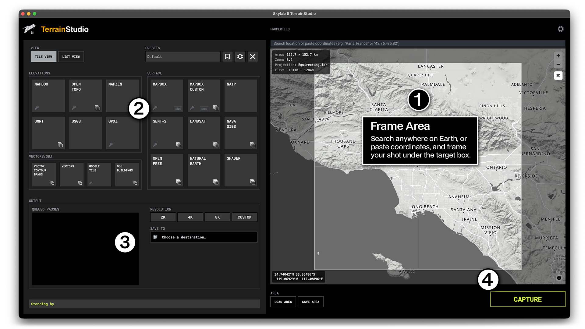
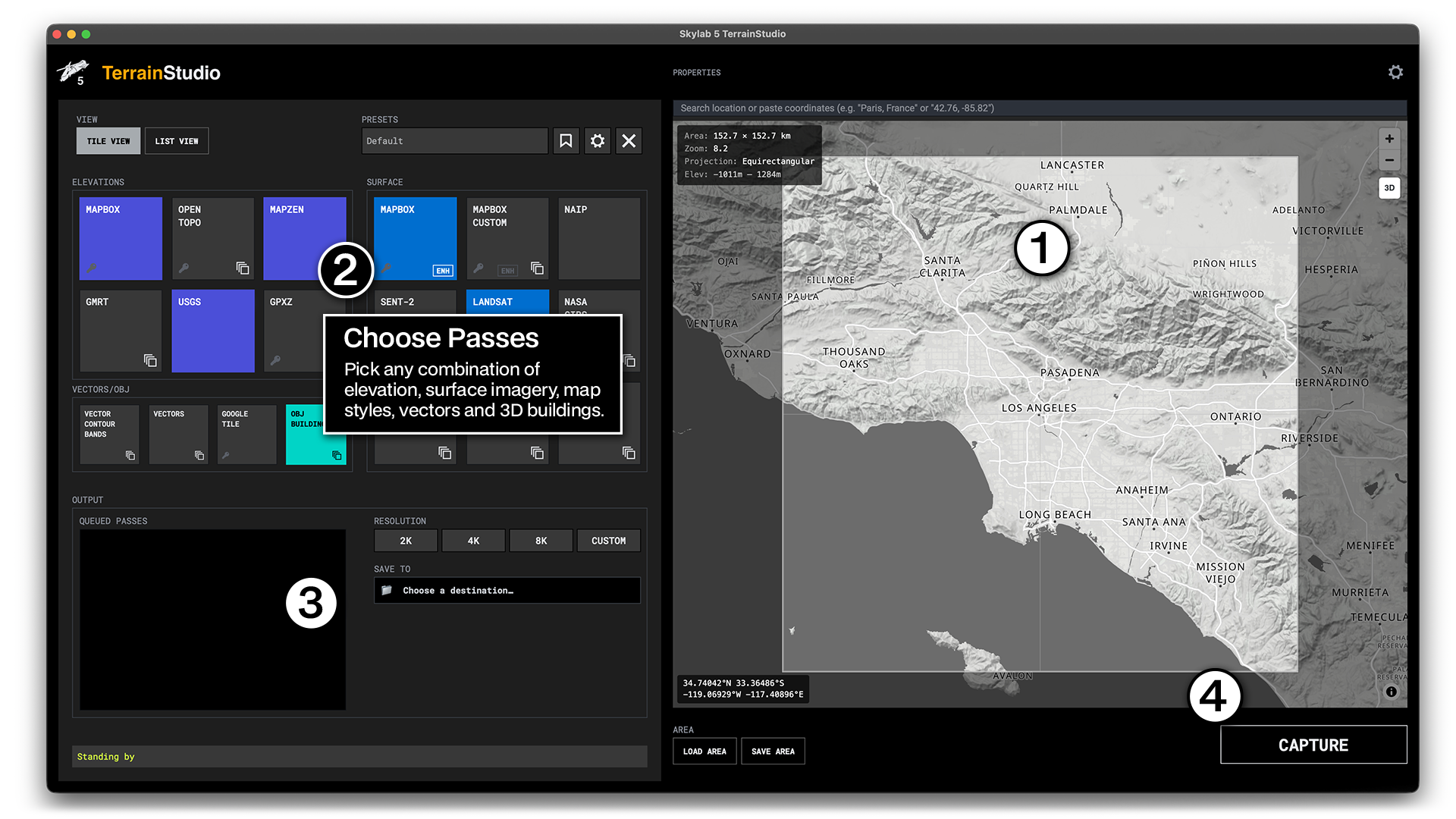
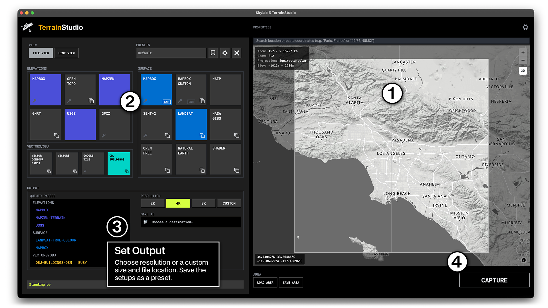
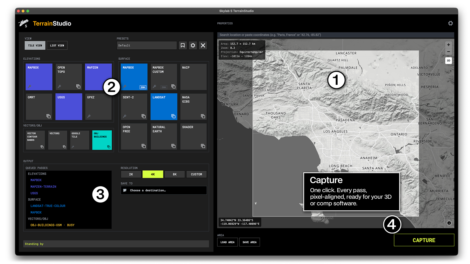
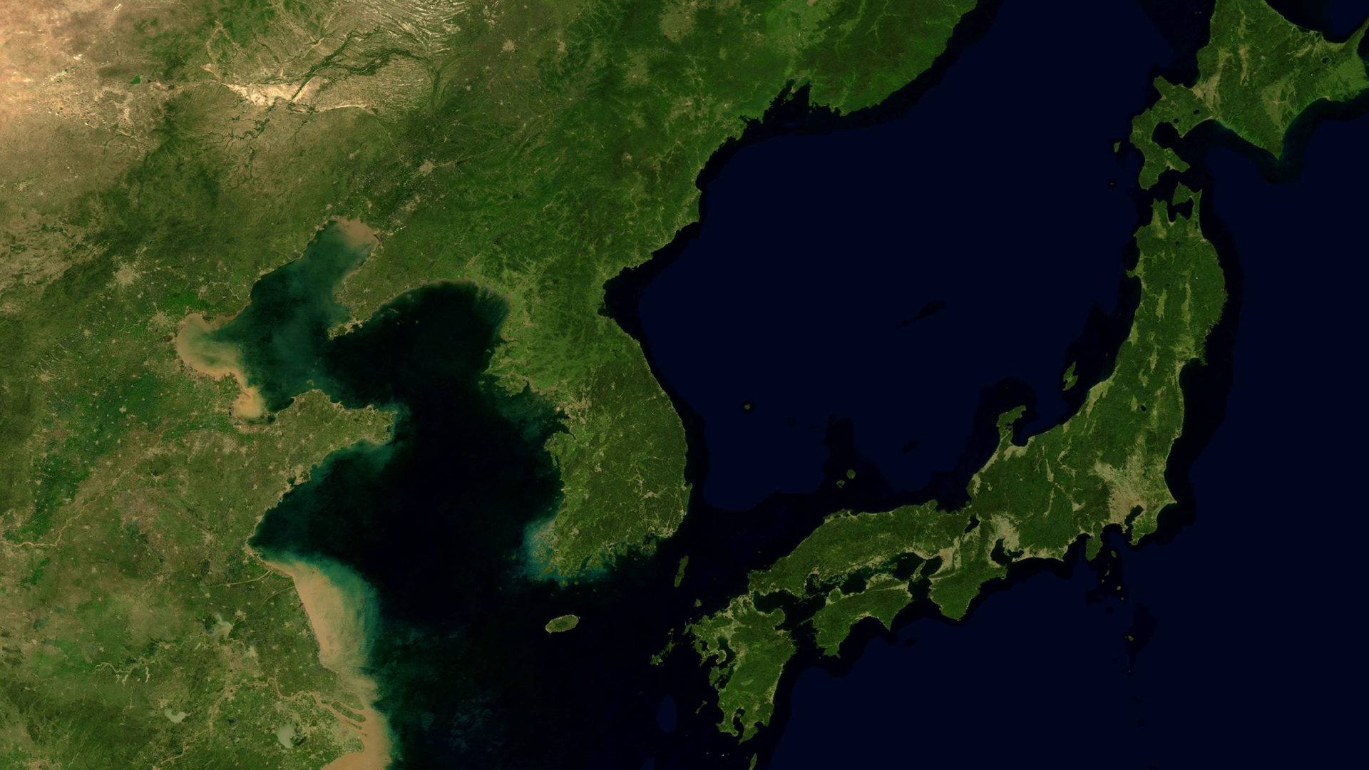
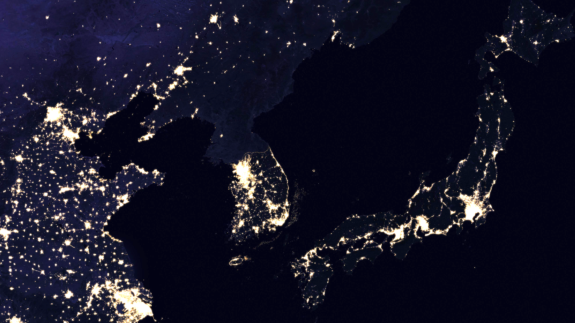
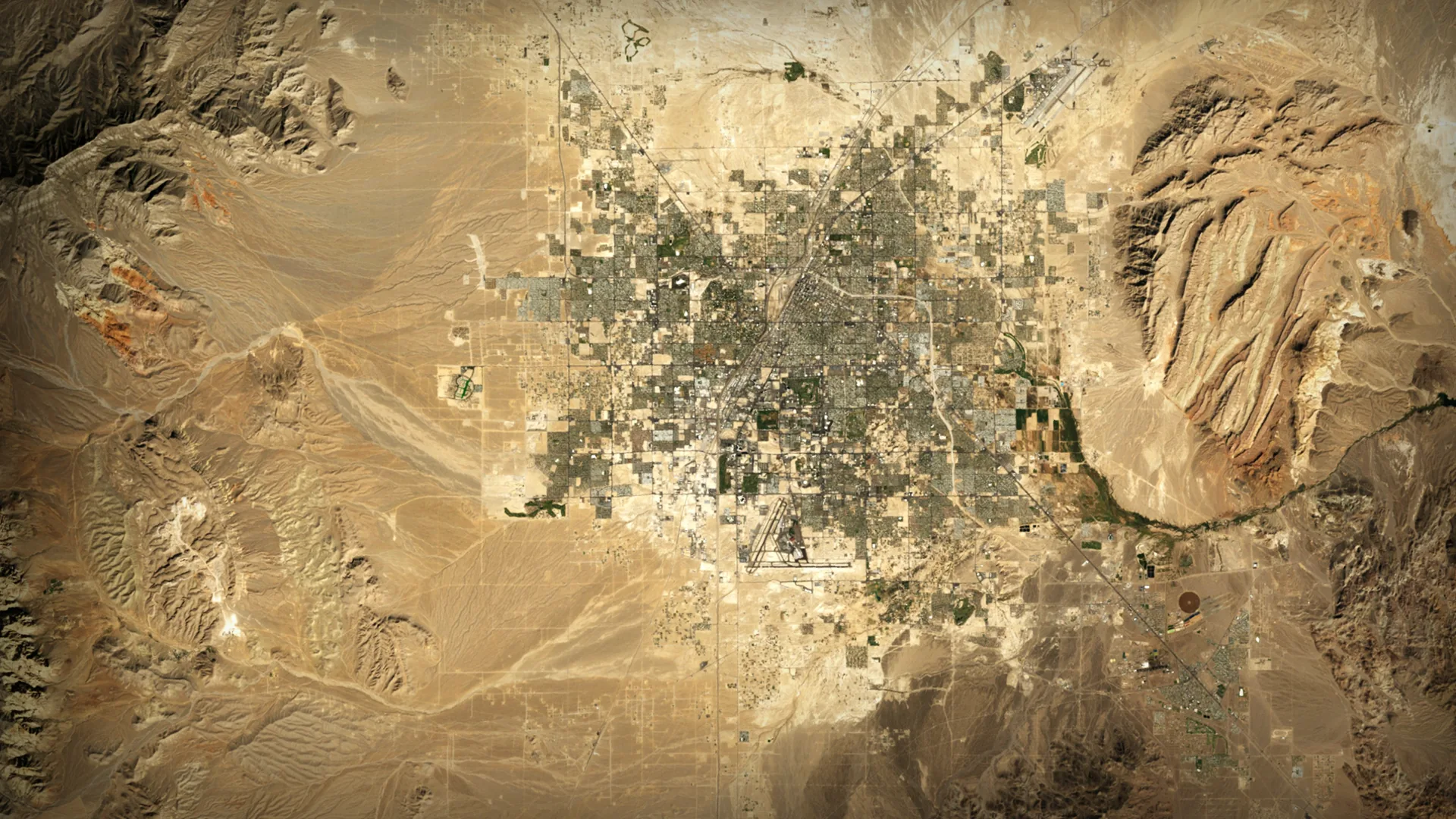
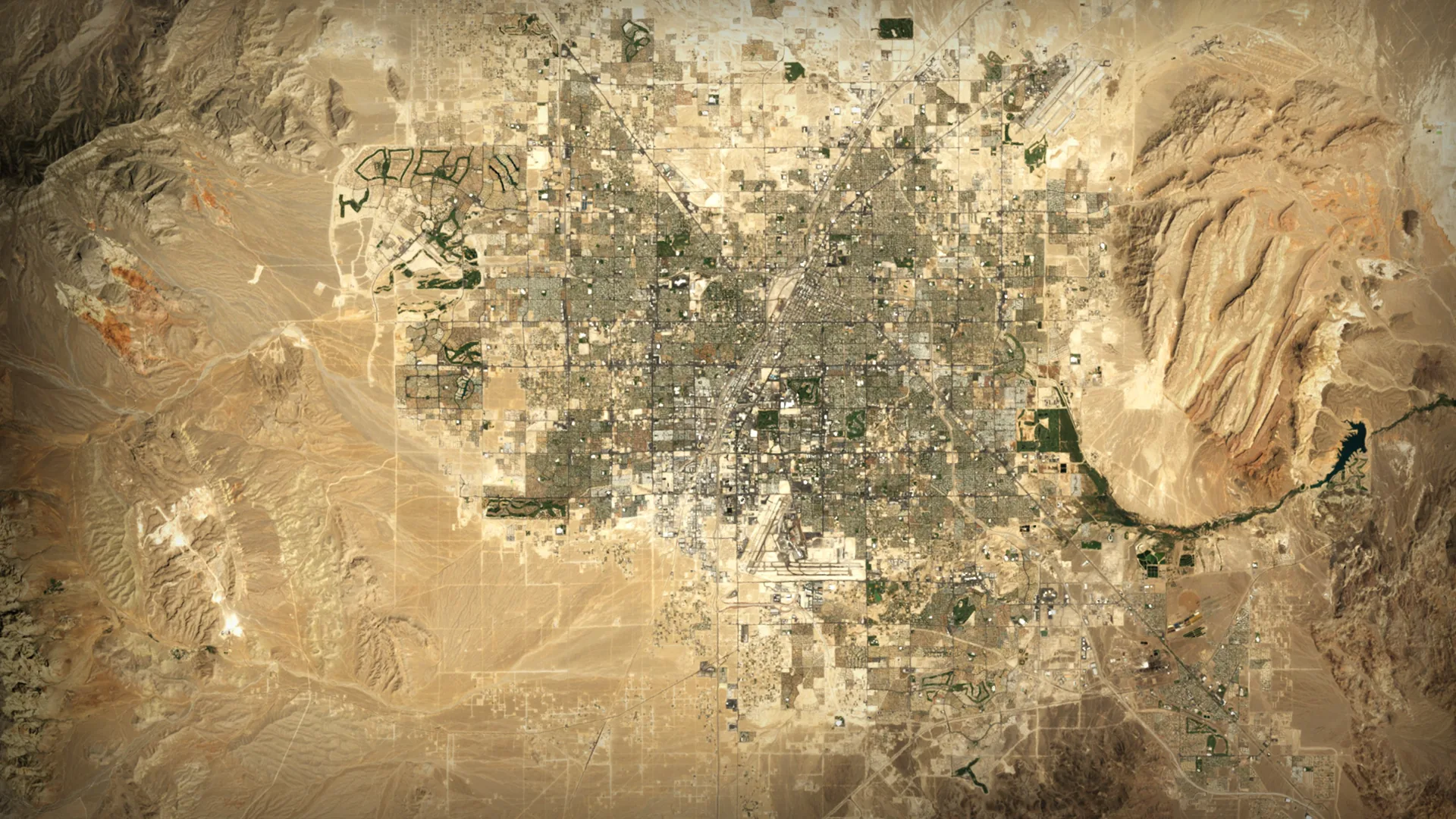
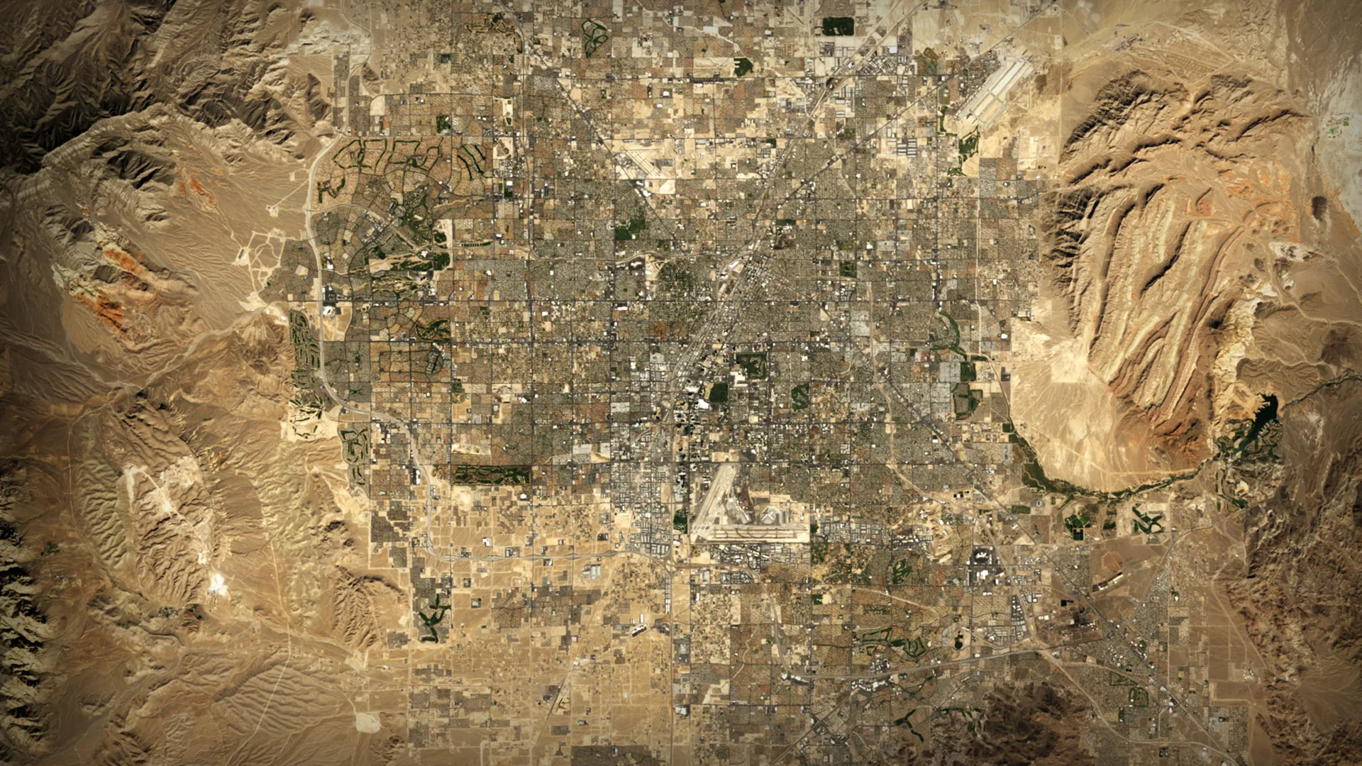
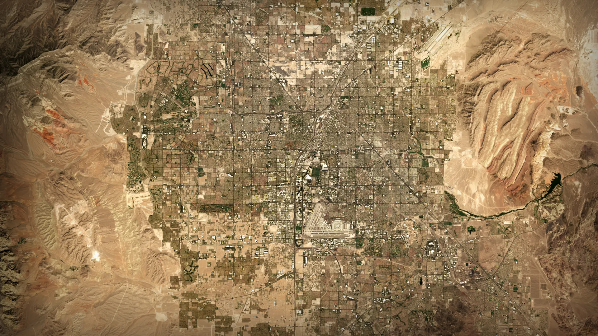
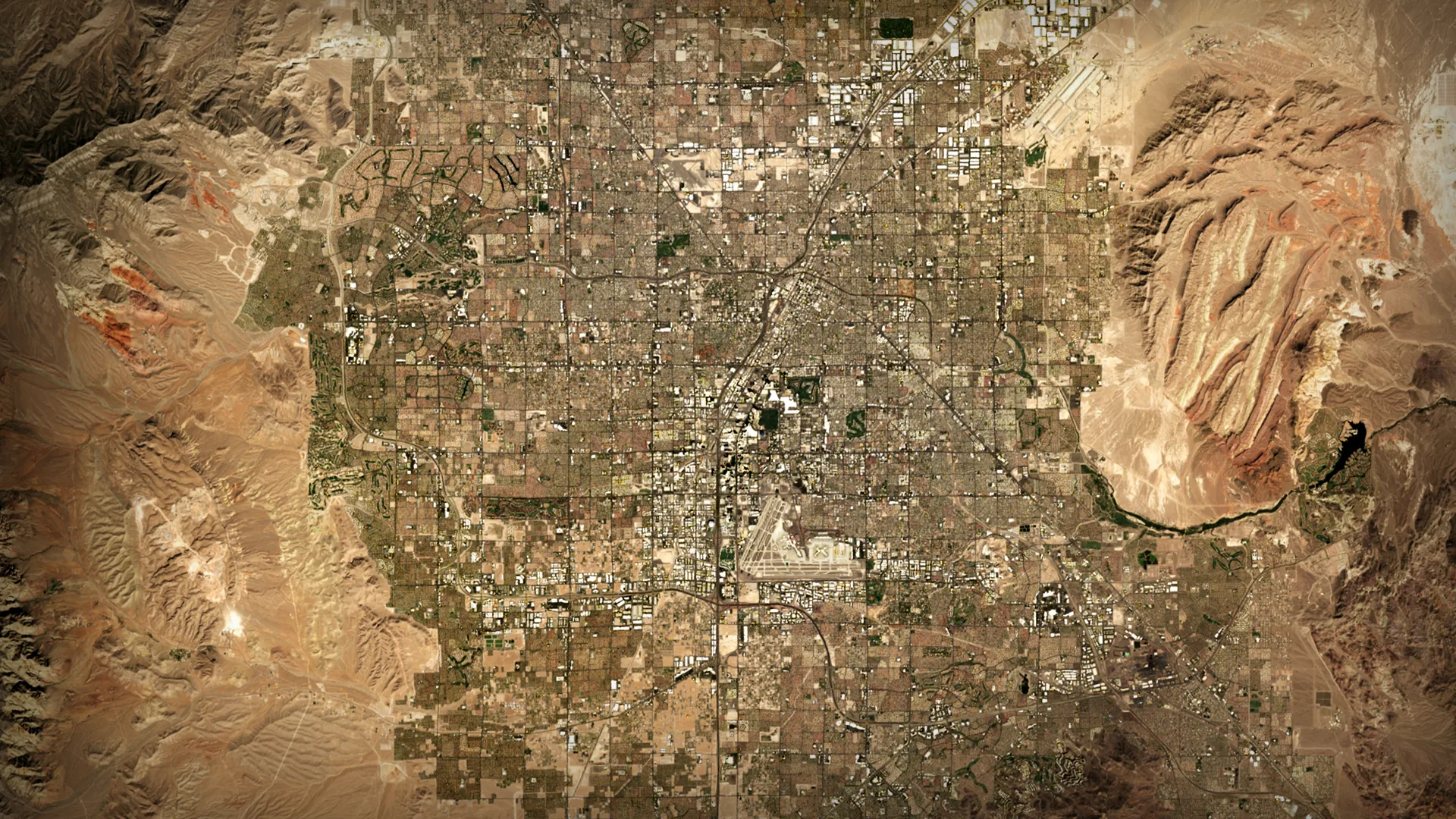
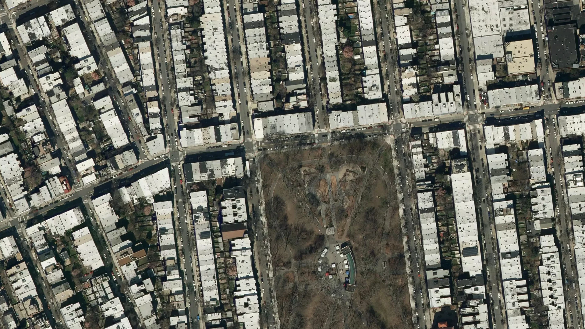
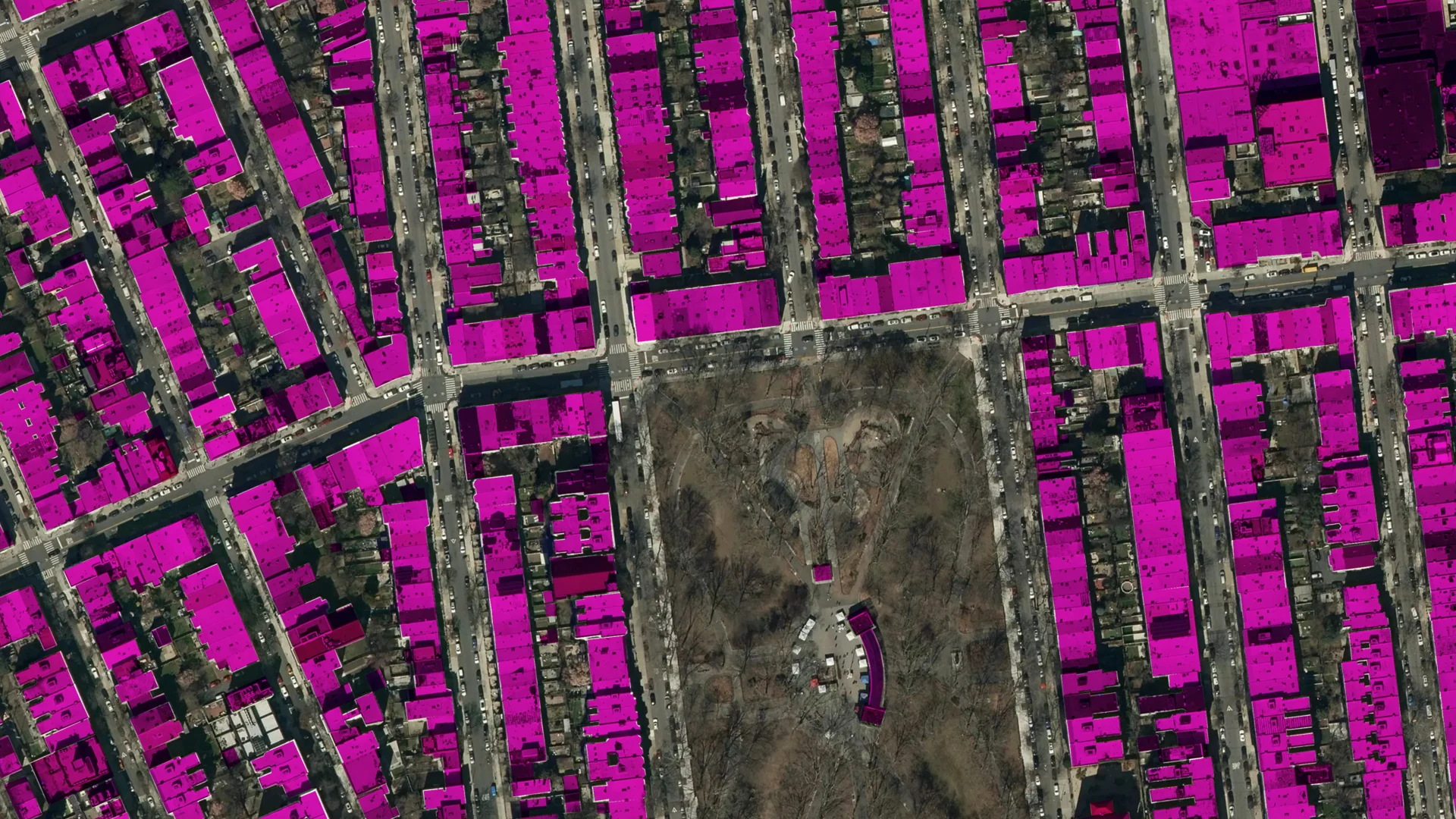
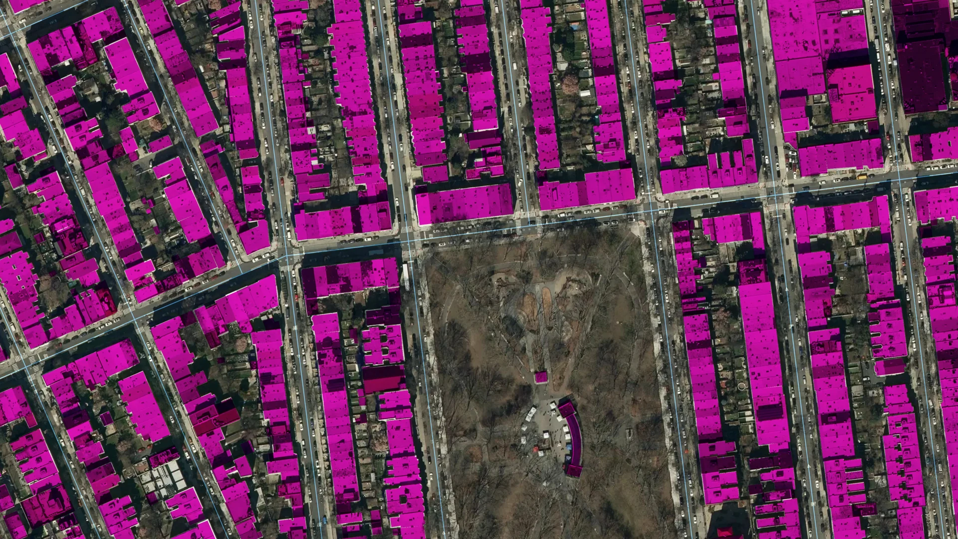
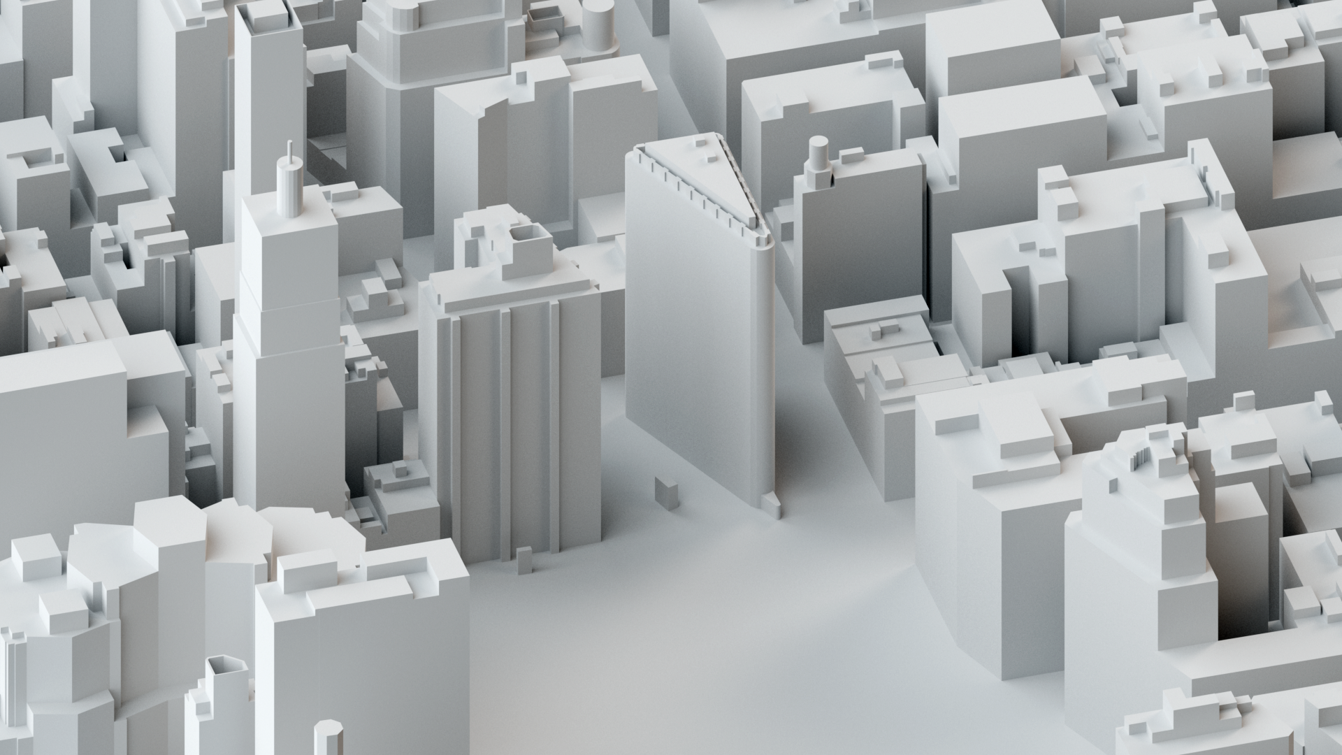
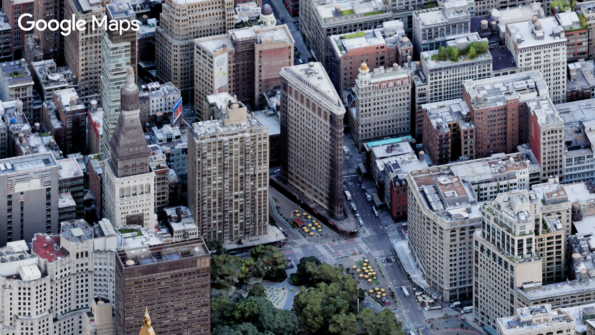
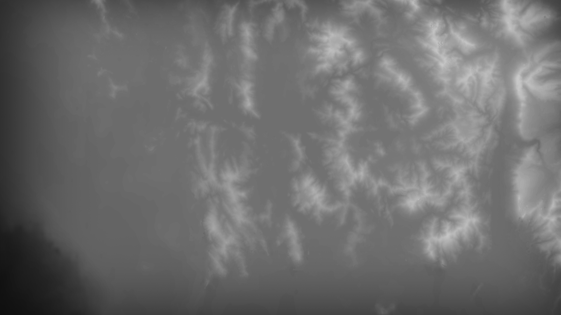
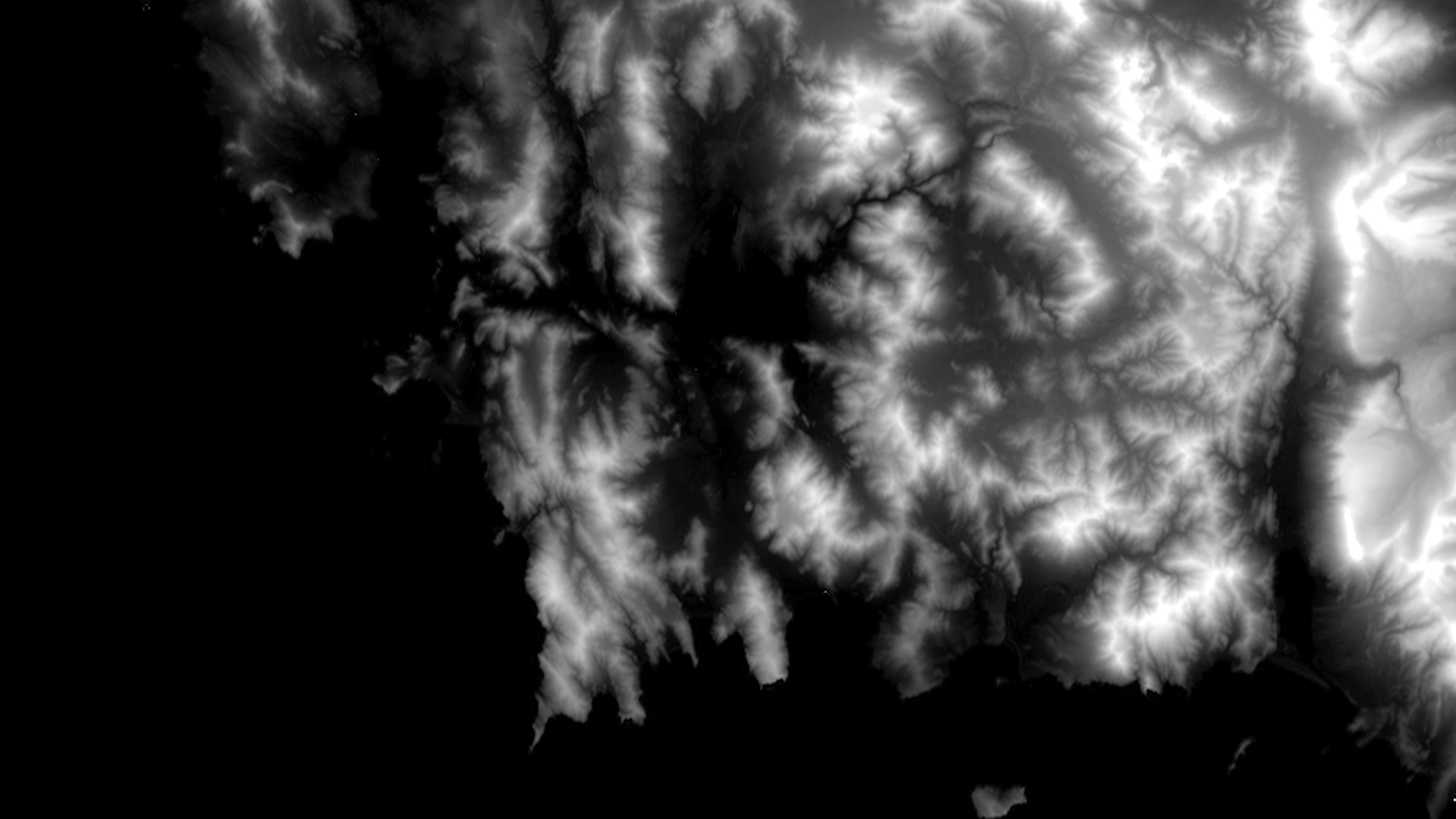
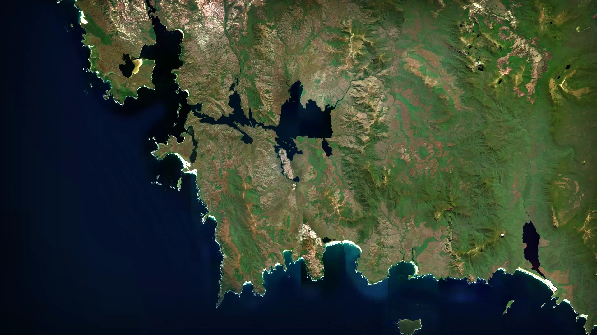
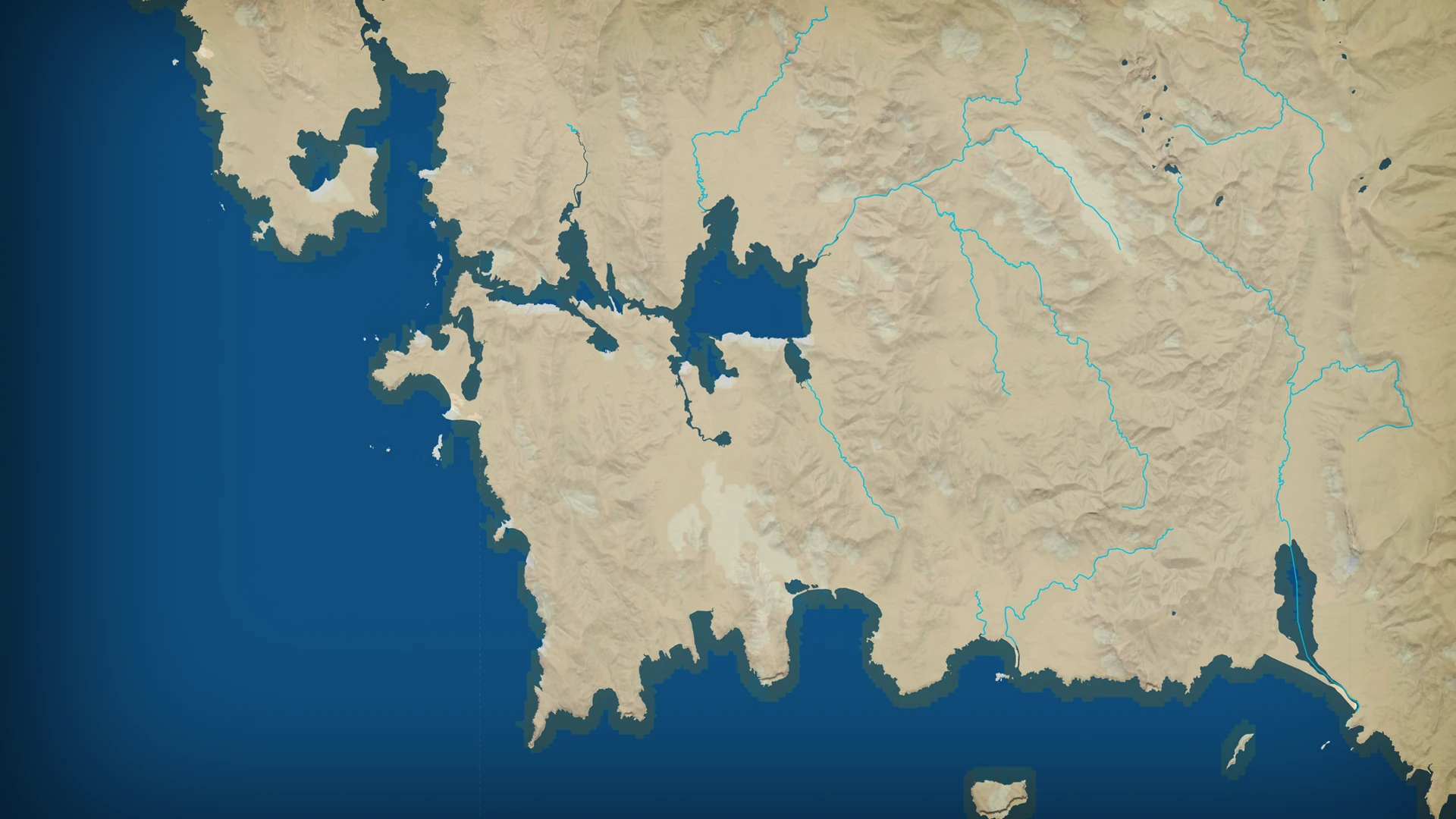
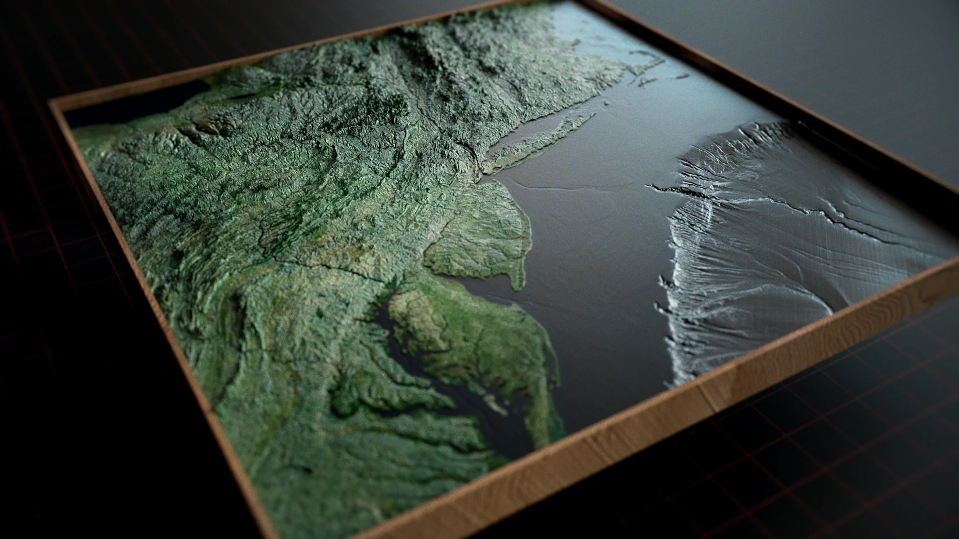
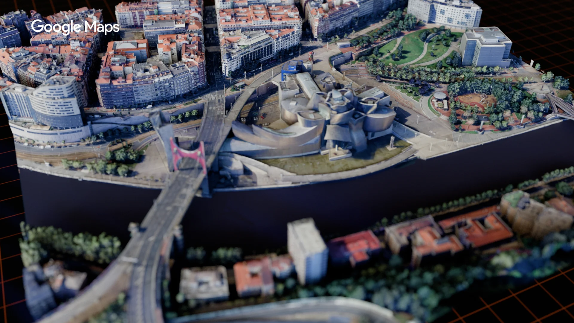
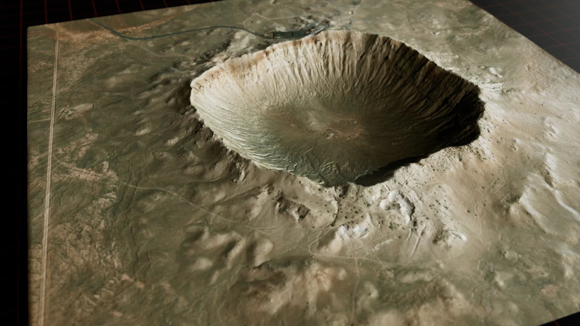
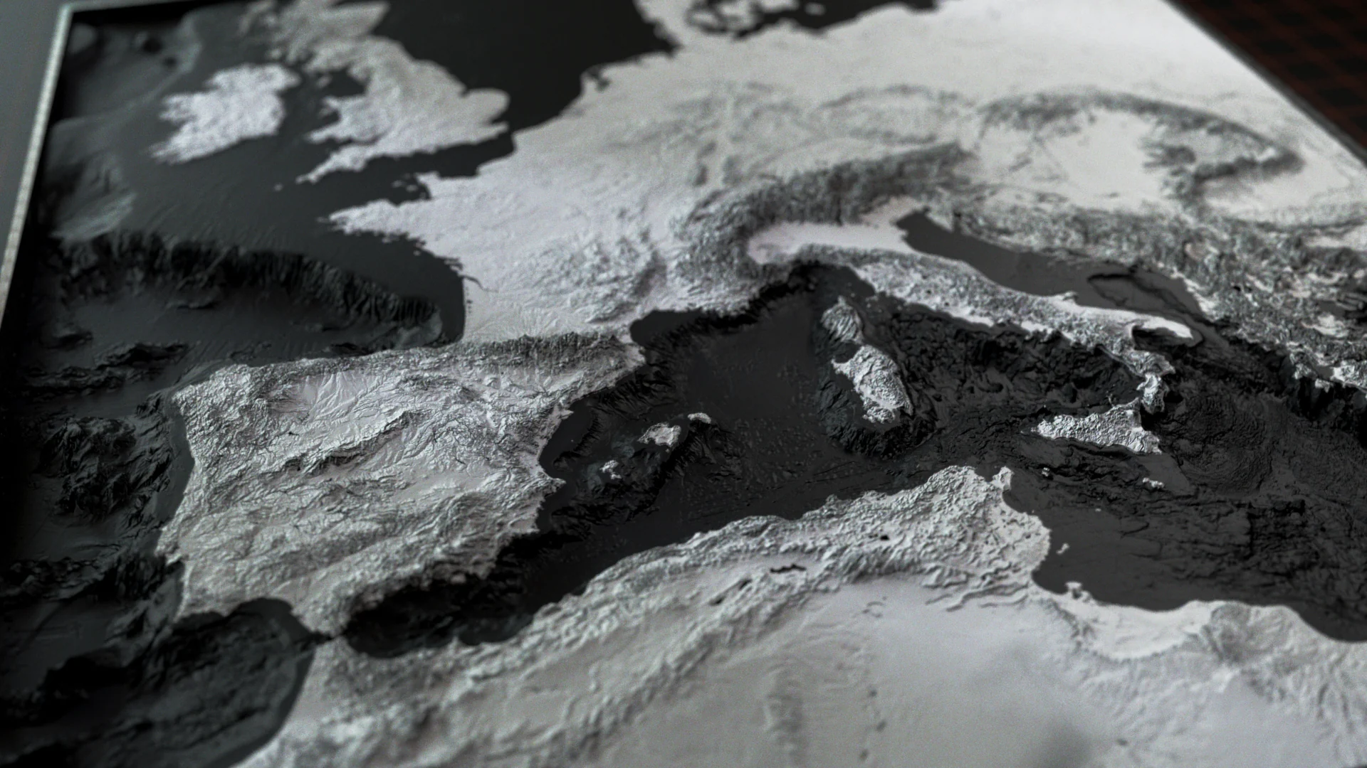
TerrainStudio is a map and terrain capture tool for anyone who builds maps for the screen. Frame anywhere on Earth, choose your sources, and it delivers every layer — elevation, imagery, borders, coastlines, streets, even 3D buildings — perfectly aligned, pixel for pixel, ready for After Effects, Cinema 4D, Photoshop, or whatever your pipeline looks like.
This is a tool I've wanted for a long time. I've worked on a lot of documentaries that involved maps, and the same problem came up on every one of them. The elevation data came from one place, the satellite imagery from another, the borders and country shapes from somewhere else again — and none of it lined up. I'd spend hours nudging layers by eye, scaling and rotating, trying to get a coastline to sit on a coastline. It was tedious, and it was never quite right.
What I really wanted was one place where I could bring all of these sources together, have them land in exactly the same frame, and then design something unique for each project, rather than settling for whatever one map provider happens to look like.
So I built it.
Mac: macOS 15 Sequoia or later, Apple Silicon (M1 or newer)
Windows: Windows 10 or 11, 64-bit
An internet connection while capturing
Optional free accounts unlock more sources: Mapbox, OpenTopography, GPXZ and Copernicus Data Space